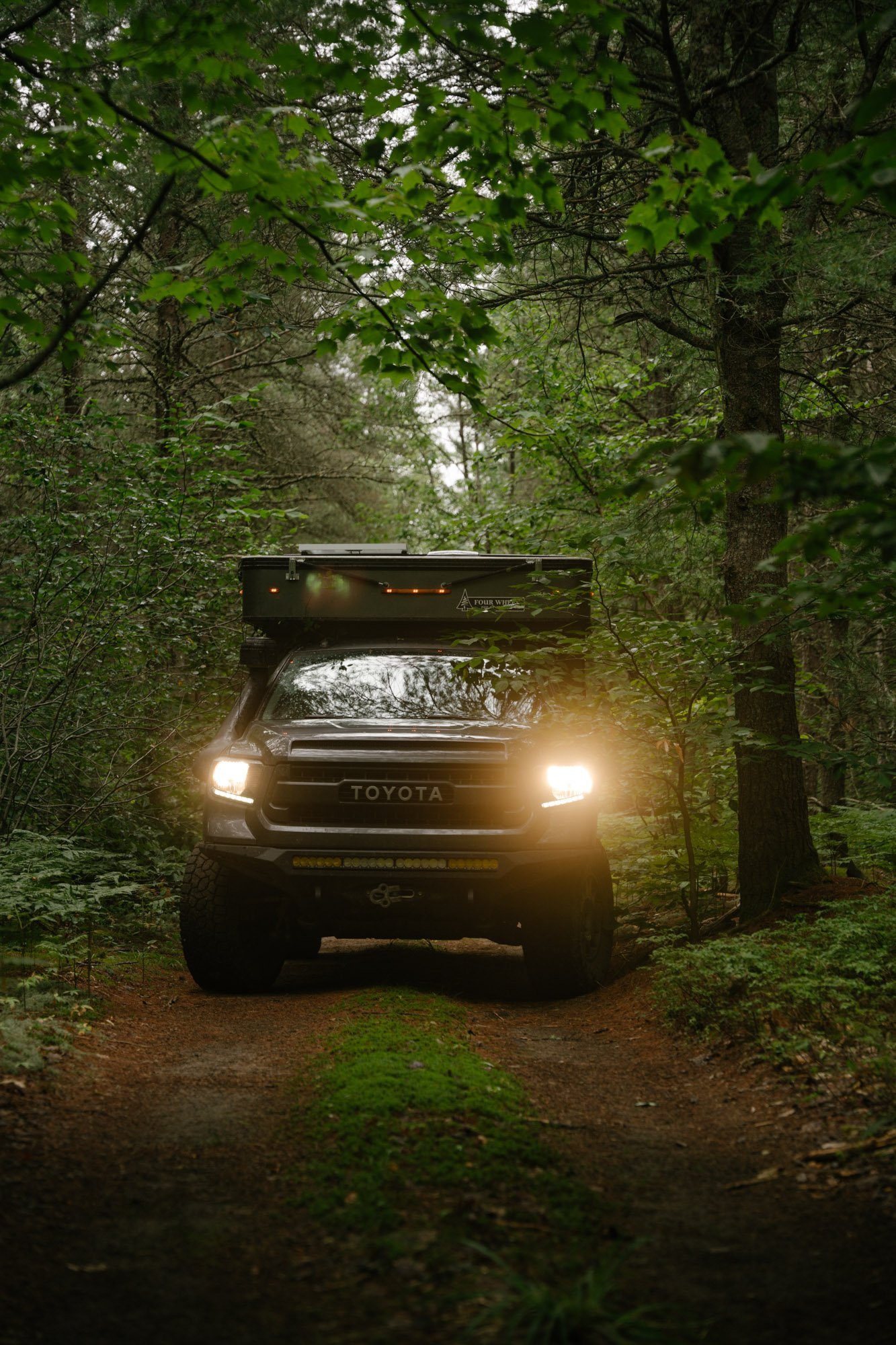
Overlanding in the Northern Midwest
For as long as we’ve been on the road, nearly 7 years as I write this, we’ve avoided traveling in the Northern Midwest. This is for no reason other than the lack of public land can be daunting. In the West we’re incredibly lucky to have access to what feels like limitless public land where we can camp for free. After realizing we had far too many bucket list destinations that we wanted to see in the Northern Midwest we decided to throw caution to the wind and spend the summer exploring the Dakotas, Minnesota, Wisconsin and the Upper Peninsula of Michigan (also known as the UP).
MAK at camp in a remote section of Badlands National Park
This blog post won’t be covering the traveling we did in that area because we have a whole video series coming soon on just that. Instead, today we will focus on how we navigated and found camping in an area that's notorious for its limited public land. I will also share some cautions for traveling seldom traveled roads and some gear to help you on your way! Let’s dive in shall we?!
Before we go too much further, we wanted to let you know that this blog post was made possible by our dear friends over at OnX Offroad! OnX Offroad is our favorite tool for navigating out on the open road. As a navigation and trail finding app, OnX gives you access to offline maps, reviews of trails (so you know if a trail is right for you and your rig), public land boundaries to help you find camping, land owner names if you cross through their property, and so much more (which we’ll get into later)! Having OnX gives us that extra bit of assurance when wandering into the unknown.
Follow this link for 20% off of your OnX Offroad subscription!
The links in this blog post may be affiliate links. If they are, a small portion of your purchase will go to us, for which we’re incredibly greatful. But just know, we only share things/brands/gear that we genuinely know, love and trust!
Navigation
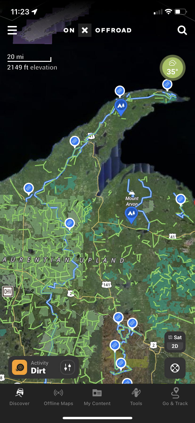
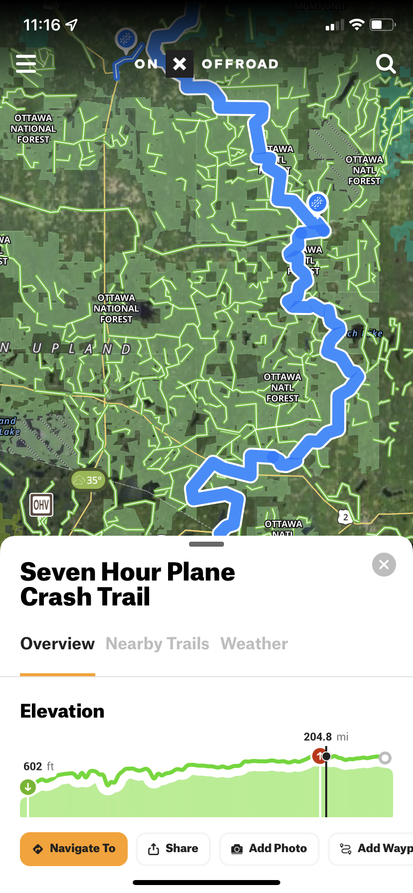
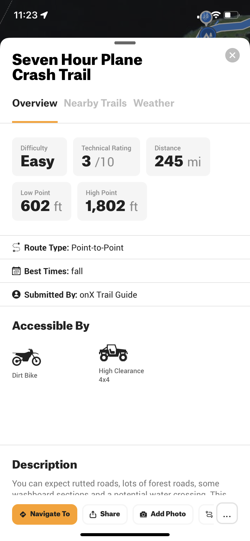
Looking ahead is extremely important for both navigation and finding camping when traveling in areas that have long distances between areas of public land. There are a ton of small out of the way destinations in the Northern Midwest that would be easy to overlook without doing prior research. Look at your main destinations, then go on the OnX Offroad app to find countless fun trails that will take you on the scenic route to where you need to go. Who knows, they might even take you past something you would otherwise miss. Like this plane crash trail in the UP of Michigan in the images below!
Be sure, as always, to save your maps offline ahead of you on your route, specifically in satellite view. This will save you later when it comes to finding camping. I will get more into that in the next section. You never know when you will lose service. The Northern Midwest was surprisingly sparse for cell service. Owen and I have been joking that we’ve never had less service than we did this summer exploring the Great Lakes area, not even in Alaska! It was actually one of our favorite parts about it because it made us feel as if we were really getting out there. It is also a nice break from “it all”, but I digress. Save your maps offline, and no matter where you find yourself, you’ll be able to navigate and find a great place to camp at night!
Finding Camping in Areas with Limited Public Land
As I mentioned earlier, the lack of public land camping was one of our biggest reservations about exploring the Northern Midwest. Armed with the OnX Offroad app, on both of our phones, we felt as prepared as we could be. Camping from the Dakotas east is when public land became less prevalent and when we had to devise a new strategy for camping.
Map showing the small patchwork of public land mixed with logging land
The spot we saw from the satellite ended up working for a camp spot!
Once we check a spot we add notes & road conditions for our future reference
We found the best way to find camping was to look ahead at the route that we roughly planned to take and where we estimated we would need to stop for the night to camp. When looking at the OnX Offroad satellite imagery we would keep our eyes peeled for green space (as seen in the image on the left above). If there was green space, great! If there wasn’t we would look a little further along our route or shy of our intended destination. Wherever green space was, was where we’d aim to end for the night.
Once we found green space, that is when we would zoom into the map and look for promising clearings, pullouts, or dead ends to camp for the night such as the image above on the right. If we found something that looked good, we would drop a point and look for backup options… Just in case! When we arrived in the area we’d always start with the option we felt was the most promising and go from there. All the while leaving notes about what we found for reference later.
Once we have a viable camp spot, like in the second image above, we change the icon to note that it was a usable camp spot. Every time we added one of these icons to our map it felt like a well deserved little victory! Again, remember to leave notes on how the camp spot was, if you felt safe there, if the road was tight getting in, anything you may want to know in the future if you return.
Pro Tip: When you add notes to your map, remember to make note of what service you do or do not have! We constantly are referencing these important notes before heading back into an area as it will often dictate which spot we go back to in the future.
Cautions of Traveling Seldom Traveled Roads
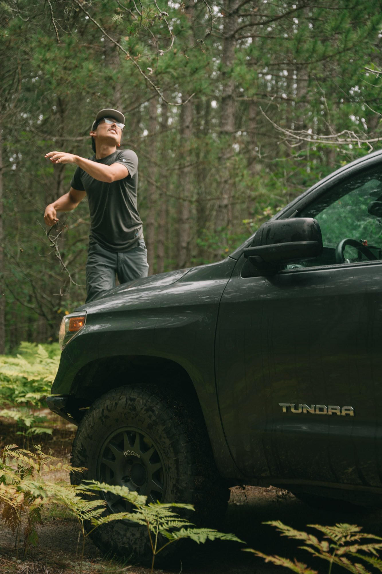
In our quest to find free camping on public land we routinely found ourselves down overgrown roads when we venture into the more heavily forested states such as Minnesota, Wisconsin, and the UP of Michigan. One minute the road was perfectly clear, the next we’re having to trim trees and bushes back. On one particularly tight road, it took us nearly an hour to make the last mile while trying to keep the pinstripes to a minimum.
To some, this may be a pain. To us, it makes us feel like we’re really getting out there and seeing something new. This kind of trail maintenance is really common and why we carry a small hand saw with us. In areas that are really green and dense with tree coverage, this needs to be done nearly every spring. So it came as no surprise that we needed to do so much trail maintenance in the Great Lakes area. If you’re afraid of pinstripes, you will definitely want to carry a hand saw with you… or just pay for a camp spot at the local campground.
Another thing to keep an eye out for when traveling these often overlooked roads are loggers and ATVs. In the case of loggers, it will be obvious if you are passing through a logging area. All of the logging areas were clearly marked on our OnX Offroad which would always put us on high alert for the logging trucks that seem to only travel at breakneck speed. Those areas also tend to have sufficient signage when they’re being actively logged. Drive slow, give the loggers the right of way and you will be totally fine!
On occasion we came across ATVs on these roads that were driving their rigs like they stole ‘em. Again, go slow, and roll with the windows down to keep an ear out. Often, the roads we took were so dense with foliage and narrow that we couldn’t see very far ahead of us.
Recommended Gear for Traveling in New Areas
This summer we were hunting for camp spots down many seldom used roads and even more often active logging roads. We recommend carrying a little extra gear with you to be sure you and your rig, can make it down the road safely while taking on as few pinstripes as possible!
Obviously we recommend OnX for finding camp, saving maps for offline navigation among many other things! If you’ve read this far, you likely already know that by now.
We HIGHLY recommend a satellite communicator to be sure you have a way of communicating with the outside world no matter where you are!
For removing overgrowth that is encroaching on the road. This is our favorite we’ve ever had! It cuts through branches quickly and easily.
Basic tool kit
Things break, best to be prepared!
For injuries, scrapes, and bug bites. Better to have one than not!
If you are needing some guidance for the rest of your car camping needs, I recommend hopping over to our “How to Car Camp” blog post as it will have a lot more information to help you on your way!
Public Land Regulations & Leave No Trace
Public Land Regulations
When camping outside of a campground you’ll want to understand the rules and regulations for the area that you’re camping in. These are the things you will want to look out for:
Burn bans
Stay limits
Bear safety and possible food storage requirements
All of these things can typically be found on the website of the land management organization that oversees the area you’re in. They’re usually fast to figure out because they’ll be listed clearly to be sure they aren’t overlooked. Often, they can also be found at the beginning or entrance to public land areas on large signs!
Leave No Trace
If you’ve ever read any of our blog posts you’ve likely already heard me speak about the importance of Leave No Trace (LNT). But anything having to do with camping I have to mention it! Leave No Trace is a wonderful and important organization that has seven principles that provide easily understood guidelines of minimum impact practices for anyone visiting the outdoors. The seven Leave No Trace principles are:
Minimize campfire impact
Respect wildlife
Be considerate of other visitors
Plan ahead and prepare
Travel and camp on durable surfaces
Dispose of waste properly
Leave what you find
Though I won’t be getting into the details of each principle, please head to the LNT website to familiarize yourself. These are incredibly important to know and understand to ensure that we’re treating these wild spaces, which are often fragile, with the respect they deserve. This helps keep these wild spaces around for all of us to enjoy in the future!
In summary there are some incredible places that I strongly suggest you take the time and explore in the Northern Midwest. I hope that this blog post will help you go forward with a little more confidence and help you find some killer free camping on public land. Remember, the journey, though sometimes it takes a bit more work, is just as fun as the destination!
Thanks as always for stopping by our little corner of the internet! If you care to try the OnX Offroad app you can get 20% off using our discount code: BFN20 at checkout!
Happy Exploring, MAK


